The Tacoma Shoreline Survey & Cleanup is about 6 weeks away and it’s as good a time as any to review the process. There will be other updates to come, but this is a good overview of the 2021 effort:
– This year it will be included as part of Tacoma Ocean Fest, and will be operated in cooperation with South Sound Surfrider.
– All participants need to use the Clean Swell smart phone app from the Ocean Conservancy. (If you don’t have a smart phone, please download the paper version of the debris log here.)
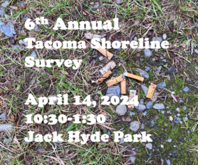
– The event will feature in-person and virtual components. Our waterfront check-in tent will be located at Jack Hyde Park on the Tacoma waterfront from 9am – 1pm. Bring your debris here during that time to be weighed and sorted and to have your data added to the totals. If you opt to participate virtually, please remember to forward the data from your survey to the Ikkatsu Project when complete.
– Please register on the Ikkatsu Project Volunteer page to receive updates and information as the date gets closer.
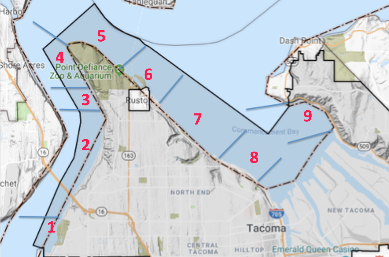
For scheduling purposes, we’ve divided the Tacoma shoreline into 9 specific sections. Take a look at them and get an idea of where you’d like to go to get your part of the survey and cleanup done. We use this breakdown to figure out where more help is needed and where we already have enough participants. Here’s a short description of each zone:
- South Boundary (Across from Day Island)
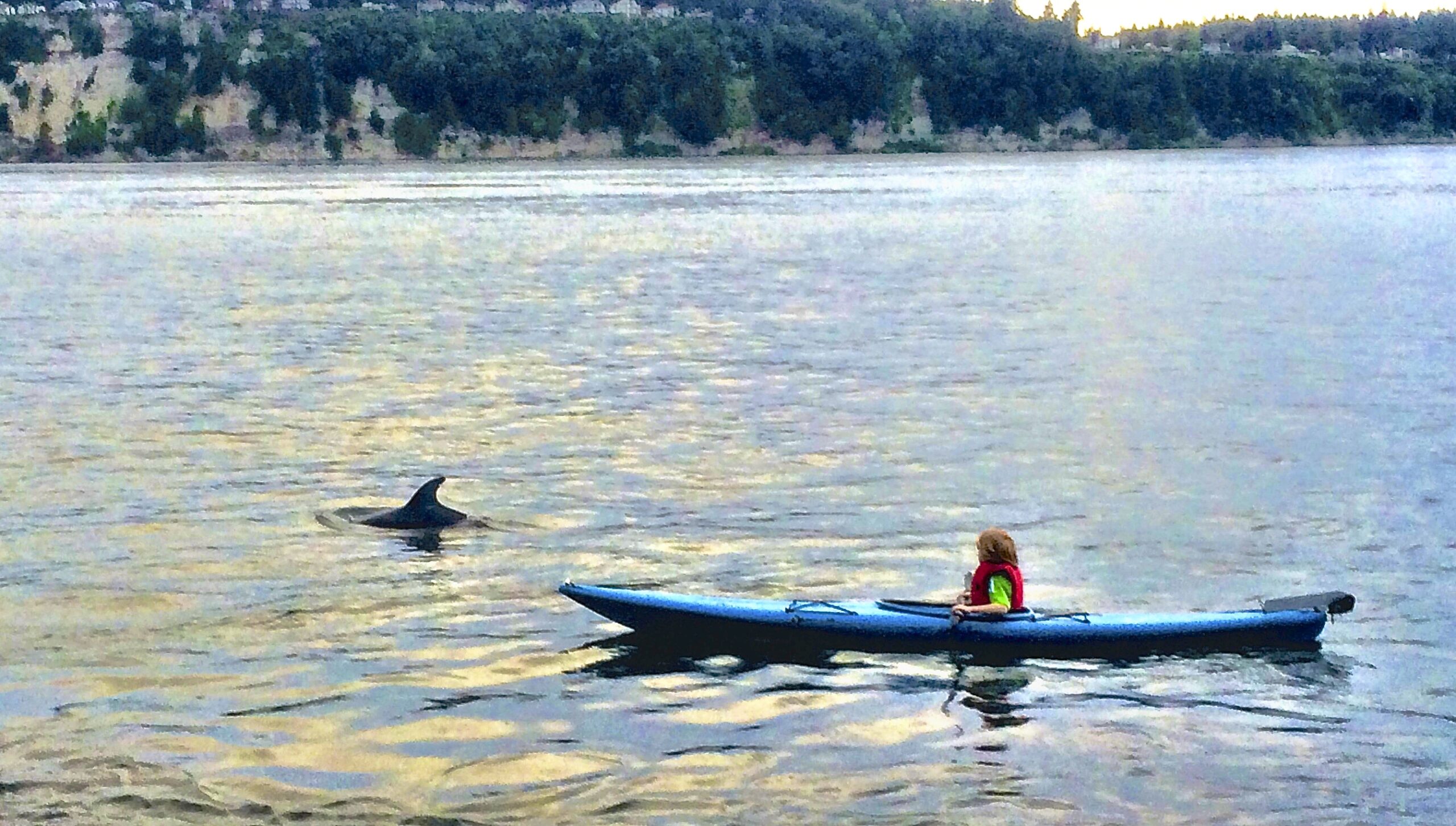
Begins inside the lagoon below the railroad tracks. The city’s southern limit is the narrow neck of land that separates Day Island from the mainland shore. Day Island itself is not part of Tacoma. Exclude the Day Island Marina. Best done by kayak at or near high tide.
- Titlow Beach/Narrows South
Begins at Titlow and goes north. Can be done on foot for first section, including some of the park trails, but the northern portion is almost entirely riprap and is best covered by kayak. Currents are a factor.
- Salmon Beach
This is the private waterfront community of Salmon Beach and is closed to public access. Survey and collection will be accomplished by the residents.
- Narrows North
From the north end of the Salmon Beach community to the point. Beach trash is often present and can require some time and effort to clear. This section is best done on foot, but volunteers need to be aware of tide levels and allow themselves a good margin of safety.
- Point Defiance
This section runs between Point Defiance and Owen Beach and would be good for families with smaller children. All on foot, fairly easy. Be aware of rising tide.
- Owen Beach/Point Ruston
Between Owen Beach and the beach just east of Point Ruston, most of what you’ll find is armored shoreline. There is unlikely to be much debris here and it should be accessed by kayakers. (This section also has a small Ruston city waterfront area.)
- Ruston Way
This section comprises most of the North Tacoma and Old Town shoreline that is fronted by Ruston Way. A mix of beaches and bulkheads, park and business, this section is best covered by a combination of kayakers and walkers (and could also include divers.) This will be the most accessible of all the sections, which is good, because it is also the largest.
- Waterways South
Between Jack Hyde Park and Thea’s Park is a mixed shoreline that will require both kayakers and walkers. From Jack Hyde east to the end of Chinese Reconciliation Park can be done on foot, as can the small beach at Thea’s Park. In between, a kayak is necessary.
- Dick Gilmur Access (Yowkwala Beach)
Like the previous section, this is a mixed route. The beaches around the Gilmur launch are perfect for walking survey and cleanup but getting from there to Yowkwala requires a boat.