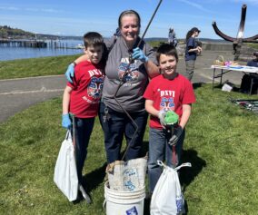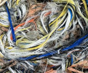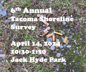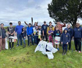

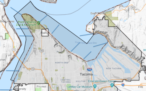
The city of Tacoma has about 13 miles of shoreline, if you don’t count the industrial waterways of the port. The goal of the Tacoma Shoreline Survey is to take one day and cover those 13 miles with volunteers who will tally up the type and quantities of debris they find, then collect it and turn it in at the disposal station on Ruston Way. We’ll be separating out the items that can be recycled and transporting the rest to the landfill. (Sounds like a well-oiled machine, I’d say.)
We’ve divided the 13-mile distance into 10 separate sections, some larger than others, some that are easier to get to and others that are more tide-dependent, as far as cleanup goes. If you have a favorite section of Tacoma shoreline that you’d like to survey and clean, or if there’s a portion of beach that is just more convenient for you, we’d love to have you sign up for that. Conversely, it’s a great opportunity to go to a section that you may not be as familiar with, see someplace new and make some immediate improvements.
 Flexibility is key and we will be doing all we can as the day gets closer to ensure that the appropriate number of volunteers gets to the places where they’re needed most. Although the event is scheduled to go from 8am – 4pm, your actual time on the beach will be shorter than that, usually about an hour. Just for reference, here’s the rough outline of the various sections, from south to north:
- South Boundary (Across from Day Island)
Begins inside the lagoon below the railroad tracks. The city’s southern limit is the narrow neck of land that separates Day Island from the mainland shore. Day Island itself is not part of Tacoma. Exclude the Day Island Marina. Best done by kayak at or near high tide. - Titlow Beach
Begins at Titlow and goes north. Can be done on foot for first section, including some of the park trails, but the northern portion is almost entirely riprap and is best covered by kayak. Currents are a factor. - Salmon Beach South
This is the community of Salmon Beach, from south to north. - Salmon Beach North
From the north end of the Salmon Beach community to Point Defiance. Beach trash is often present and can require some time and effort to clear. This section is best done on foot, but volunteers need to be aware of tide levels and allow themselves a good margin of safety. - Point Defiance
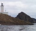
This section runs between Point Defiance and Owen Beach and would be good for families with smaller children. All on foot, fairly easy. - Owen Beach
Between Owen Beach and the beach just east of Point Ruston, most of what you’ll find is armored shoreline. There is unlikely to be much debris here and it should be at least partly accessed by kayakers. (This section also has a small Ruston city waterfront area.) - Ruston Waterfront
This section comprises most of the North Tacoma and Old Town shoreline that is fronted by Ruston Way. A mix of beaches and bulkheads, park and business, this section is best covered by a combination of kayakers and walkers (and could also include divers.) This will be the most accessible of all the sections, which is good, because it is also the largest. - Jack Hyde Park – Thea’s Park
Between Jack Hyde Park and Thea’s Park is a mixed shoreline that will require both kayakers and walkers. From Jack Hyde east to the end of Chinese Reconciliation Park can be done on foot, but beyond that point, a kayak is necessary. Thea’s Park consists of a small beach, but it can be surprisingly trashy at the high tide mark. Smaller debris is the norm but it is often mixed with beach wood and seaweed… a good place to go except when the tide is highest. - Dick Gilmur Access
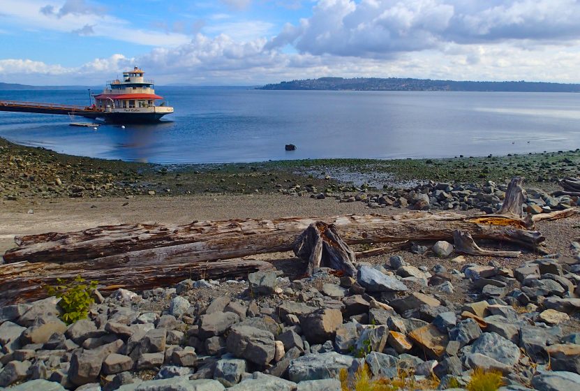
On Tacoma’s northeast shore, the Dick Gilmur launch allows access to the gravel beaches near the houses and marinas where debris often collects during the winter months. There is often considerable garbage to pick up here. - Yowkwala Beach
Similar to the Gilmur site but a bit wilder… because it also faces the southwest, the prevailing winds of winter tend to blow a fair bit ashore here.